Castle Walk Countryside Site
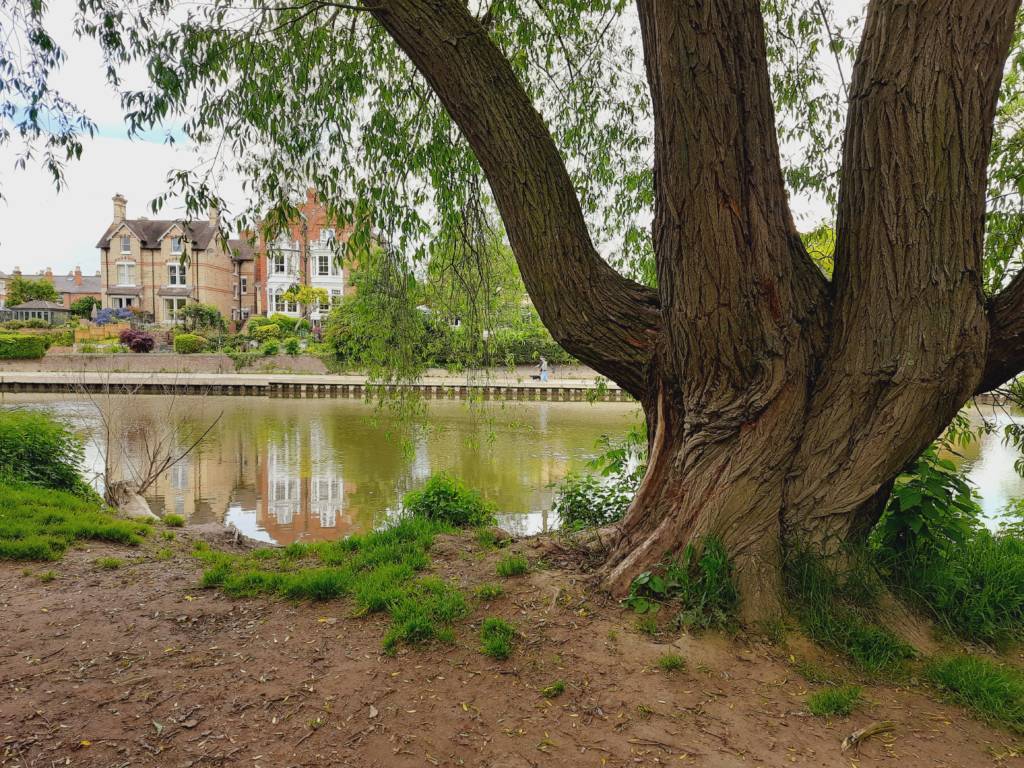
Castle Walk Countryside Site is 2.1Ha of riparian habitat on the southern bank of the river Severn and managed by the Countryside Team for nature conservation. The site is part of the larger Castle Walk recreation area which includes a play area and playing fields. The site is a short walk away from Mousefield Countryside Site.
Habitat
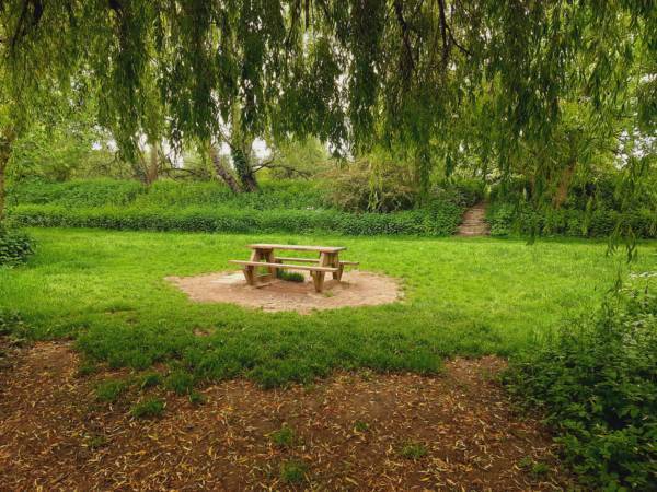
The site contains important riparian habitat including woodland, wet woodland and wet meadow.
Wildlife
There are many species records for the site including for ladybirds and dragonflies.
History
Castle Walk Footbridge spans the River Severn and was the first pre-stressed concrete bridge in Shropshire. The footbridge was completed in November 1951, and built using balanced cantilever construction, with two cantilever sections and a central suspended span. The total central span is 150 ft. It was designed by L.G. Mouchel and Partners and built by Taylor Woodrow. It links the Castlefields area of the town to the northwest with the Cherry Orchard/Underdale part of town to the southeast.
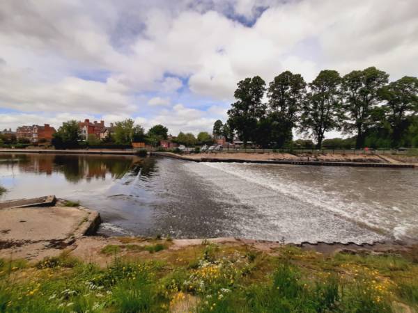
A solid concrete weir was built at Shrewsbury in 1909 to keep water level at a nominal height for pleasure boating (i.e. punts and skiffs) around the loop of the river enclosing the town, particularly by Shrewsbury School Rowing tradition, and also enjoyed by local people for a stroll, or ‘promenade’. A lock was promised at that time for the passage of larger boats, but was never carried out, this prevented any further trade on the river in that area, and also of course limited the use of any larger craft to an isolated pound.
The site forms part of the Shrewsbury Town centre conservation area.
How to get there
The site is located between Cherry Orchard to the east and Castlefields across the river. The site can be accessed from the car park off Underdale Road or from Castlefields direction across the Castle Walk footbridge.
Access
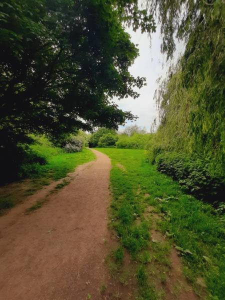
A path runs the length of the site parallel to the river and forms two loops, one either side of Castle Walk footbridge which is in the middle of the site. The footpath on the eastern loop is seasonally wet and can be impassable when the river floods. The path furthest away from the river on the western loop has recently been resurfaced and carries on away from the site heading towards the English bridge and Abbey Gardens.
Car parking
Car parking is available in the car park off Underdale Road. Spaces are limited so please do not block the gateway.
Grid reference
The grid reference for the centre of the site is SJ 491 859
Postcode
The post code for the car park off Underdale Road is SY2 5DL